

ESS490H Geological Capstone Field Trip
Variable destinations. A two-week excursion to a challenging field setting. Students will integrate field observations with their accumulated knowledge of geodynamics, structural geology, and landscape evolution to understand large-scale geological events. Please see the departmental announcements. Note that the application deadline is often 6 to 8 months before the course date.
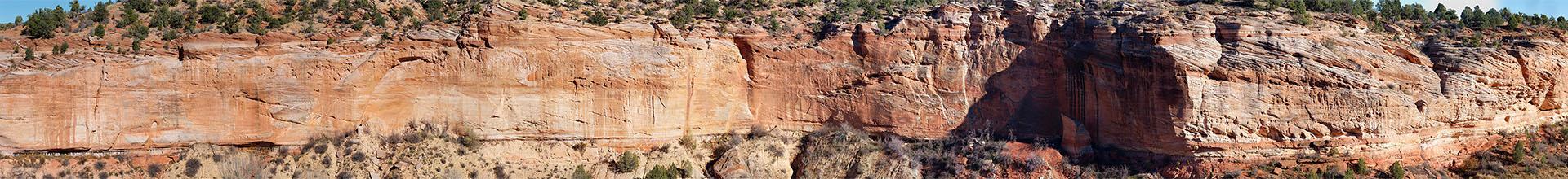
Previous Capstone course destinations include Scotland, Iceland and Newfoundland and Labrador. Read about the most recent trip in the article below that was published in the 2023 Alumni Newsletter.
The 2022 Capstone field trip was highlighted in an Alumni News story:
Capstone Field Trip 2022: Newfoundland & Labrador
By Assistant Professor Neil Bennett

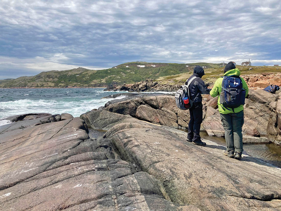
June 15th dawned sunny in Toronto as we made our way to Pearson Airport for an early morning departure to “The Rock.” These fair-weather beginnings were not to last and this year’s Capstone Field Course (ESS490) to Newfoundland and Labrador saw multiple days of heavy rain and winds in excess of 40 knots! Our small but steadfast group, however, took these conditions in their stride to map exposed coastal islands, tackle the steep slopes of Gros Morne National Park, and log submarine debris flows.
Our group was comprised of Tina Tsan, Jessica Verschoor, and Joyce Lu from the St George Campus, with Andreia Hamid joining us from the Scarborough Campus. The trip was co-led by Professors Neil Bennett and Mike Hamilton.
After landing at Deer Lake Airport, Newfoundland, we headed north, taking in spectacular views of the Long Range Mountains on route to the Torrent River Inn. It was an early start the next morning to catch the ferry across the Strait of Belle Isle to the mainland. Our mission there was to study Proterozoic rocks formed during construction of the Rodinian supercontinent, that were later rifted apart during opening of the Iapetus Ocean. Our main stop of the day was an outcrop of Paleoproterozoic metasediments, where we tried to discern the origin of enigmatic hematite-rich nodules. We then headed to Pinware River Provincial Park – our base for three nights.
The good weather that greeted us in Newfoundland slowly deteriorated during our time in Labrador, but not before we had the opportunity to map the south shore of Saddle Island – an Fe and P-rich layered mafic intrusion situated in the UNESCO world heritage site of Red Bay. We departed Labrador in deteriorating weather, which made for an exciting ferry crossing back to Newfoundland. The worsening weather made camping untenable, but with local assistance from the residents of St Anthony, we found accommodation for the night. After a busy evening drying clothes and camping equipment, Mike Hamilton delivered a lecture on U-Pb geochronology, providing students with some background on how ages for the ancient rocks they had seen were determined.
We were greeted the following morning by similar weather, before heading out to Cape Onion to study submarine volcanic rocks. Heading west along the coast to Burnt Cape, we identified a sequence of Cambrian sediments and volcanics thrust atop younger Ordovician sediments! After a brief drying-out stop for lunch, we headed back to the outcrops – this time to characterise mélange exposed along the north edge of the Hare Bay allochthon.
A break in the weather finally arrived the following day as we drove south towards Gros Morne National Park, allowing us to stop and discuss the palaeoenvironment of thrombolites (fossilized bacterial mounds) exposed in Flower’s Cove. We also visited Green Point, which hosts the global stratotype for the Cambrian-Ordovician boundary. Here, we used detailed stratigraphic logs to pin-down the exact location of the boundary based on variations in lithology and fossil content.
Over the next several days in-and-around Gros Morne national park, we were treated to a variety of geological features, from submarine debris flows containing car-sized clasts to three dimensional exposures of pillowed basalt flows. Our biggest challenge, however, was the steep hike to the Mohorovičić discontinuity, the boundary between mantle and crust. This deep-seated boundary is exposed in western Newfoundland due to obduction of oceanic crust during the closure of Iapetus.
After four days exploring the national park, we then spent the following morning in the volcanic and sedimentary rocks of Bottle Cove, where we identified several issues with the published map of the area and created revised interpretations in field guides. The afternoon was spent hunting for and describing fossilized trees in the Carboniferous sediments of Blanche Brook before a short drive to our final campground at Barachois Pond Provincial Park.
Our last day was spent touring sediments of the Port-au- Port Peninsula, that record the passage of a peripheral forebulge followed by progressive deepening of a foreland basin. After a morning dominated by carbonate sedimentology, we ended the trip in the siliciclastic rocks of Cape Cormorant, where we were able to identify partial Bouma sequences formed by turbidite flows. The next morning, we departed Barachois Pond for Deer Lake Airport and our flight to Toronto…but not before one last downpour to see us on our way.